|
| Tasman Island from cliff edge |
After having a pleasant stroll up onto the lower slopes of Mt Wellington, Di and I thought it would be good to follow it up with something a bit more extended. Two immediate choices came to mind: Mt Field West or the trip out to Cape Pillar. While a lot of folks do these two walks as overnighters, we've become quite enamoured of covering ground quickly via lightweight day hikes, and both walks work quite well as day trips. We find that by travelling this way, especially during daylight savings time, we get the best of both worlds in that we can savour the bush as much as we like and experience the joy of movement that is missing when one is carry more weight. The downside is that we don't camp as much as we might otherwise, but our old joints don't mind the trade-off, especially not carry the extra weight needed if you're camping.
My bad ankle was a bit sore after the walk on the mountain so I thought it might be prudent to avoid the scree hopping required by the Mt Field West walk, even though it is significantly shorter. Cape Pillar has the advantage of being a bit flatter as well. So that settled it: Cape Pillar it would be. Here's a look at the route we intended to take ...
 |
| Fortescue Bay to Cape Pillar |
Setting Off
It takes about an hour and a half to drive from home in Hobart to Fortescue Bay, where the track starts. We got out of the house a bit after 6:30, stopped at Sorell for breakfast and were on the trail by 8:20 (light traffic allowed for a bit of speedy driving 😉). Trail runners or lightweight hiking shoes work really well for this sort of endeavour ...
 |
| Speedy blue shoes |
The start of the track is clearly marked ...
 |
| Heading towards the light |
A warm overnight meant that the temperature when we started was in the mid teens, so we warmed up pretty quickly. A few hundred metres after the start a Green Rosella, endemic to Tasmania, flashed through the trees in front of me.
A little further along we walked past this absolute beauty of a mushroom ...
 |
| Delicious but we're in a National Park! |
The track rises gently to begin with, so we were in shade to begin with, keeping the temperature comfortable. A good-sized wallaby bounced along the track in front of me but wouldn't stop long enough for a photo.
Zipping along through the eucalyptus forest, we were at the end of the access track and at the major T-junction that leads Three Capes walkers towards Munro hut and the route to Cape Pillar ...
 |
| Track Junction: turn right for Cape Pillar |
Towards Munro Hut and Cape Pillar
A couple of hundred metres along the track there is a station for disinfecting footwear of the Phytophhera cinnamoni disease ...
 |
| Doing the right thing |
From here it is about another kilometre and a half to the Munro accommodation complex ...
 |
| Viewing deck, outdoor food prep area and main kitchen/dining area |
From the view deck on the left, which faces north, there is a great view across to Cape Hauy ...
 |
| View towards Cape Hauy |
The first time we saw Munro - almost exactly a year ago - we were staggered by the luxuriousness of it. Here's another view of it ...
 |
| Munro meals and mingling area |
The accommodation units, consisting of conjoined four and eight bed rooms, are hidden behind.
By now we were about 9 ½ kilometres into our projected 32 kilometre walk. After a short break chatting with the resident Parks Ranger we were back on the track. Boardwalks have been used extensively in areas where the ground underneath is sensitive to erosion or compaction. Occasional artworks have been inserted to add a bit of quirkiness and break the monotony of the boards ...
 |
| Eye wide open |
 |
| Colours of the rainbow |
 |
| Feelers? |
The vegetation along the way alternates between dry eucalyptus forest, copses of Banksia marginata and coastal heath. At one point as we were entering a section of mixed scrub from open heathland Di got me to pause so she could photograph some large Tea Tree shrubs still in flower ...
 |
| Tea Tree in flower |
Soon we were on the edge of earth, high above the sea below. We were greeted by more artworks ...
 |
| Arrrrh, Matey! |
 |
| Ever to be remembered ... |
... and soon thereafter our first glimpses of Tasman Island ...
 |
| Tasman Island and The Blade |
While this view is pretty good, the really spectacular vista is from the top of The Blade (which can been seen to the left of the island in the photo above) ...
 |
| Tasman Island from The Blade |
After spending a few minutes drinking up the scenery we headed back along the track to find a quiet place to enjoy our lunch. Along the way there are great views to the west, looking down onto the Trident, across to Crescent Beach and Mount Brown, and the cape that's missing from the Three Capes Track ...
 |
| Looking west |
The grand vistas are wonderful, but occasionally one's attention is drawn to something rather innocuous but nonetheless rather beautiful ...
 |
| Young sprout? |
Lunch ... and a bit of a Detour!
With our stomachs growling, we decided to just plop ourselves down trackside at a flat rock in a bit of shade and tuck into some food ...
 |
| Ahhh ... Lunch! |
Revitalised, we hit the trail again. There was the occasional banksia flower adding a bit of colour ...
 |
| Banksia flower |
... and great views to the north towards Cape Hauy, with Maria Island and the Freycinet Peninsula visible in the far distance ...
 |
| Views to the north |
We paused again at Munro to have another bite to eat and fill the water bladders in our day packs. By this time we were more than two-thirds of the way through our journey and pleased with our progress. We were a bit curious about Retakunna, the next hut north along the Three (or is that Two?) Capes Track and discussed the idea of making the short detour north to have a look at it. As we were still feeling pretty frisky when we got to the turn-off we decided to head along that way to have a look ...
 |
| Retakunna signpost |
 |
| Retakunna accommodation block |
In the backs of our minds, both of us rationalised that it wasn't that much farther to keep going and do the loop to Fortescue Bay rather than head back along the way we'd come. Besides, if we continued onwards we'd be on some track we hadn't walked before. It didn't take more than a couple of seconds for us to decide to head into new ground and go the extra distance.
Some very pleasant walking followed, on a mixture of boardwalk and hardened ground. After a couple of easy kilometres the track started to rise more steeply. Some fantastic track work has been done along here, with excellent series of steps making for easy climbing. Mt Fortescue, the high point of the entire Three Capes Track is an indistinct peak that levels off at just under 500 metres. Once the track reaches the top some excellent views appear back towards Cape Pillar and Tasman Island behind ...
 |
| Cape Pillar and Tasman Island |
We normally think of our wonderful endemic Black Currawong, with its unique clinking melody, as a bird that prefers our higher mountains, but every once they surprise us. As we were walking through the forest at the top of Mt Fortescue we came across a cheeky fellow that let us get quite close before flying away.
There is some more traversing along cliff edges and at one point is another quirky bit of art ...
 |
| Ten Thousand ... Whales??? |
The track descends fairly steeply off Mt Fortescue, again utilising some excellent runs of steps - two of which you can make out if you look closely at the next photo ...
 |
| Man ferns and steps |
After descending for a while through this small, beautiful area of wet sclerophyll forest we emerged into more dry terrain again. Before we knew it we'd passed the junction of the track that leads out to Cape Hauy and were heading northward towards Fortescue Bay. Di spotted a couple of our favourite birds - the Yellow-tailed Black Cockatoo - and tried to get a picture. Moving that bit too close she prompted them to take to the wing but did get some evidence of their presence ...
 |
| Cockatoo in flight |
Despite being in the home straight after covering quite a lot of ground and looking forward to sitting as opposed to striding, we were still appreciative of the jewels of nature that presented themselves from time to time. Here's an orchid that Di spotted ...
 |
| Orchid |
With our destination getting quite close we encountered this tempting rest spot ...
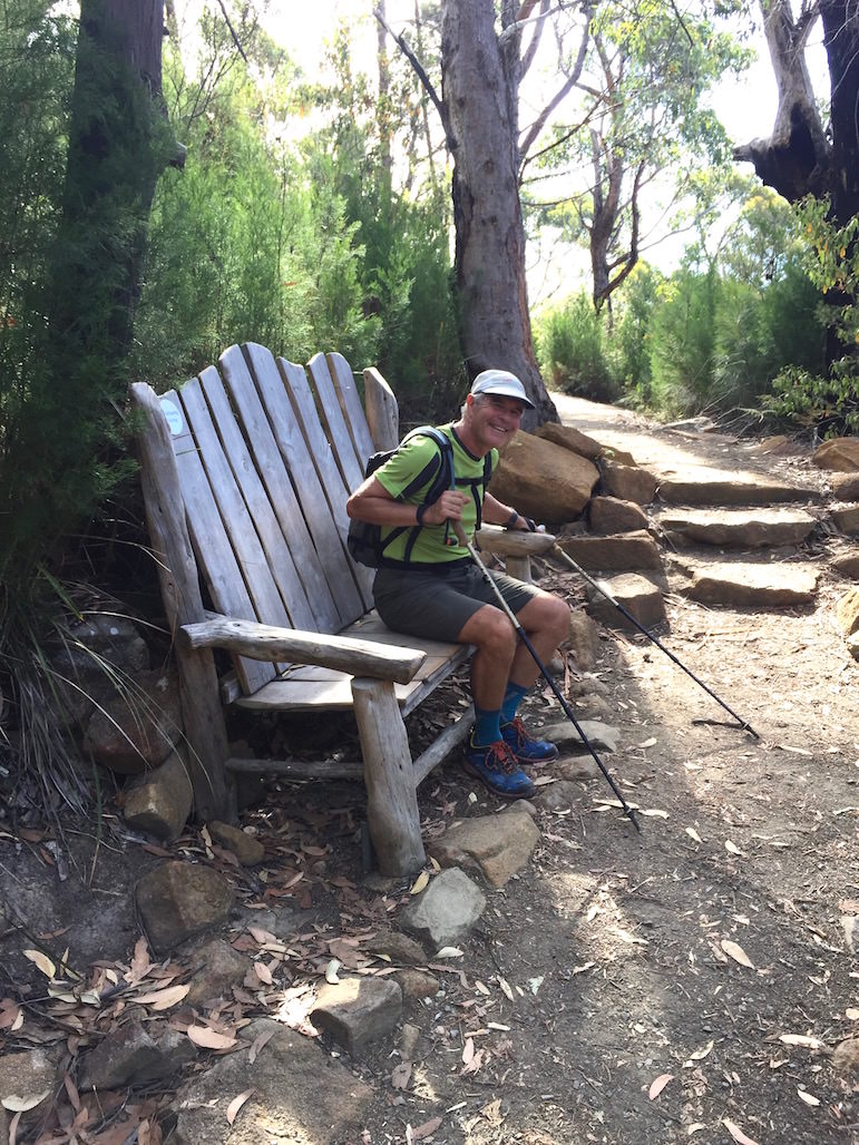 |
| Are we there yet? |
... but Di soon had me up and moving again.
And, just a few hundred metres further along the track at this new installation, we saw the familiar, always beautiful beach at Fortescue Bay camping area beckoning ...
 |
| Nearly! |
We only had about a kilometre to go and, as we always do, we finished with a burst. (In this case, it helped that it was downhill the rest of the way!)
When we got to the car, Di's phone said we'd covered exactly 37 kilometres (she actually didn't start recording until we were a few hundred metres along the route!) and were moving for 7 hours and 13 minutes. For what it's worth, my watch (which always tells me I've travelled less than what both my Garmin and my phone say) recorded the journey as 36.1 kilometres.
Anyway, here's the actual route we hiked ...
(For reference purposes I've zoomed out so that you can see Cape Raoul as well. It's the cape at the southwest extremity of the map. It makes for a great walk in its own right and was meant to be one of the "three capes".)
And for any of you readers who are techno geeks here is a graph produced by my watch, showing elevation vs time, with the gaps represented time when we weren't moving ...
Anyway, here's the actual route we hiked ...
 |
| The southern extremities of the the Tasman Peninsula |
(For reference purposes I've zoomed out so that you can see Cape Raoul as well. It's the cape at the southwest extremity of the map. It makes for a great walk in its own right and was meant to be one of the "three capes".)
And for any of you readers who are techno geeks here is a graph produced by my watch, showing elevation vs time, with the gaps represented time when we weren't moving ...

... and if you're really geeky, here is a link with more data on ascent/descent, speed and other useless information.
All said and done and techno geeky stuff put to one side, it was a magnificent day out and about in the land of cockatoos and kangaroos. Thanks Di for coming with me on yet another excellent adventure.